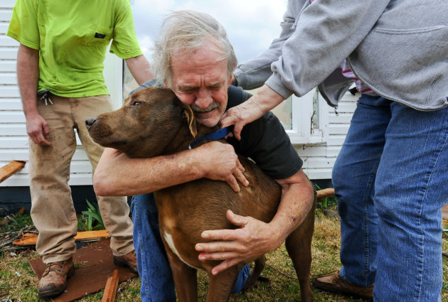
A warm spell and a low-dipping jet stream are fueling the monster storms that are spawning tornadoes today across a wide swath of the country, weather experts said.
Today, the Storm Prediction Center has received 311 reports of severe weather, including 48 reported tornadoes and a few reported fatalities. This massive storm system also spawned deadly tornadoes on Leap Day, which raked Kansas, Nebraska, Illinois, Indiana, Missouri, Kentucky and Tennessee. The severe storms killed at least 12 people and included a strong EF-4 twister in Harrisburg, Ill., a rarity for February.
As of this morning, the severe storm risk area covered an estimated 162 million people, or 56 percent of the United States, according to weather experts at the National Oceanic and Atmospheric Administration (NOAA).
While the main tornado season runs from spring to early summer, this year's early outbreaks show that tornadoes can form under a variety of conditions and strike during fall and winter, too. This year's mild winter and warm start to meteorological spring has upped the risk of dangerous storms.
"We've been in a very warm pattern all winter," said meteorologist Mark Rose of the National Weather Service in Birmingham, Ala. "Because it has been so mild, it increases our chances for severe weather."
Also behind this week's twisters is a low-dipping jet stream. The jet stream is moving at a blistering pace today across the Mid-South and Ohio River Valley. NOAA satellites clocked the jet stream at 150 mph (241 kph) across these regions. The jet stream is bringing cold air from Canada to mix with the warm, moist air from the Gulf of Mexico. Where these two differing air masses meet is often an area of severe weather, hail, winds and even tornadoes. [Infographic: 2012's Active Tornado Season]
"We actually are looking at a risk from the Gulf Coast to the Great Lakes to west of the Mississippi to the East Coast," Craig Fugate, director of the Federal Emergency Management Agency, told the Weather Channel. "And these storms are moving fast."


