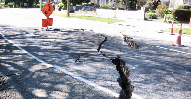
Satellites in orbit will soon help scientists and first responders on the ground more accurately pinpoint the location and severity of earthquakes in the Western United States. NASA's Real-Time Earthquake Analysis for Disaster (READI) system, set to begin real-world testing this year, uses GPSto measure movement along fault lines in California, Oregon, and Washington.
More than 500 locations spanning the three states are networked to capture and share GPS data in the event of a quake. NASA says that the data will help quickly gauge the magnitude and location of tremors, aiding police, fire departments, paramedics, and other emergency services to reach affected areas in less time, and target the most severely shaken spots first. Traditional seismic sensors tend to lose accuracy as the magnitude of quakes increases.


